Nameri National Park is a Government-protected area which is situated at the foothills of the Eastern Himalayas - 45 kms north of Tezpur - the District Headquarters of Sonitpur District in Assam.
 |
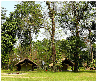
| Eco Camp - Nameri National Park |
Located at 27°0′36″N 92°47′24″E, Nameri National Park shares its northern boundary with Arunachal Pradesh's Pakhui Wildlife Sanctuary and together both Nameri and Pakhui encompass more than 1000 square kilometres of reserves. Nameri alone protects 344 square kilometres of forest area.
.jpg) |
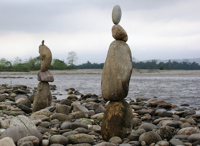
| Jia _ Bhoreli river ( Nameri National Park) |
The Protected areas that constitute Nameri National Park are Core Area (200 sq. kms); Segment of Naduar Reserve Forests Tezpur Sub Division (80 sq. kms); Buffer Area (64 sq. kms) which total to 344 square kilometres.
The third National Park of Assam State, Nameri National Park has several rivers flowing through it - the biggest one being the 'Jia Bharali' River which is one of the major tributaries of River Brahmaputra. Jia Bharali River flows from the Lower Himalayas through Arunachal Pradesh State and then enters into Assam State at Bhalukpong and runs through Nameri National Park.
The other rivers that zigzag Nameri National Park are all tributaries of Jia Bharali River namely Diji, Dinai, Doigurung, Nameri, Dikorai and Khariet. Apart from the rich Alluvial soil deposits that these rivers perennially bring to Nameri National Park, during the monsoons the rivers swell up immensely and makes this whole terrain inaccessible which helped Nameri National Park forest area to flourish.
Read full story @ www.hoparoundindia.com


No comments:
Post a Comment